Open menu
Civic Worth is in beta. It’s assembled automatically from public records and can be wrong. Check the official source before you rely on it, and tell us what’s wrong, or see what we’ve corrected.
Chicago, by community area
Chicago's 77 community areas are the city's stable civic geography. Search any address, or pick a community area, to see the parcel-level public record — assessed values, zoning, ADU eligibility, ward, permits, and 311.
Resolved to your PIN
Every Chicago address resolves to its 14-digit Cook County PIN — then to the parcel’s ward, community area, zoning, and ADU eligibility.
The 2027 reassessment, as data
The City triad reassesses in 2027. Reports show comparable parcels’ values at each appeal stage — mailed, certified, board — so you read the pipeline as data.
Free for newsrooms
Chicago newsrooms and 501(c)(3) nonprofits get 100 reports a month, free — because a better-informed Chicago is the whole point.
Look up any Chicago address
Or explore the city as data: Chicago civic maps — zoning, permits, representation, and more, by community area and ward.
Featured maps
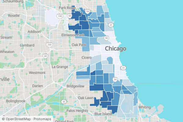
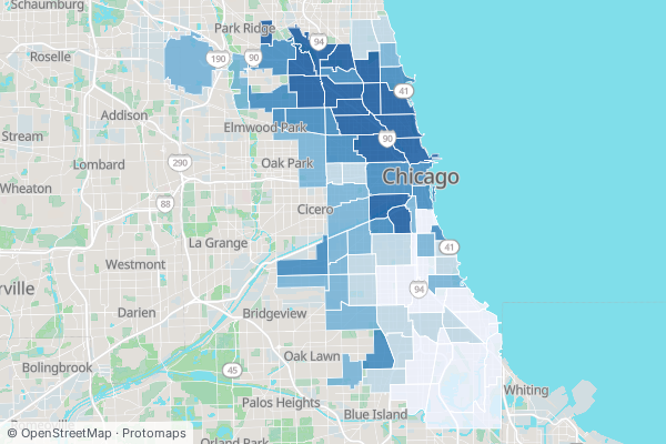
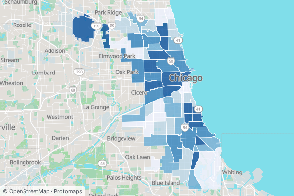
All 29 civic maps →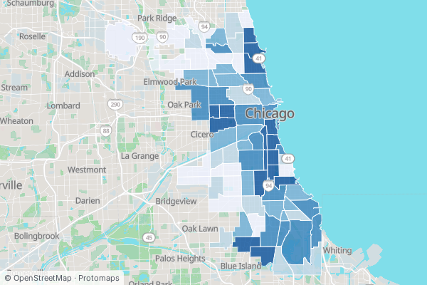
How Civic Worth works
Search any address, free
Type any Columbus or Chicago address. In under a second you get the Civic Address Card: who represents that parcel, how it is zoned, the nearest transit, and the most recent 311 requests nearby. No account, no charge.
The report explains the why
The card shows what is true of a parcel. The full report shows why it matters. It reads the same public record a planner or a land-use lawyer would pull, and cites every source: today's zoning under Title 17 and pending changes, permit history and the unpermitted-work signal, assessed value and Cook County Assessor context, and demographic and displacement trends.
See a real parcel report, resolved live→Free for newsrooms and nonprofits
Verified newsrooms and 501(c)(3) nonprofits get 100 reports a month at no cost. The people who report on a city should be able to read its public record.
How newsroom access works→One-time reports, no subscription
$19 Lite · $39 Standard · $79 Investor. Or $9.99/mo Citizen for unlimited free-tier reports and watchlist alerts.
Every Chicago property gets reassessed in 2027
Get one email when the City triad's notices go out, and a heads-up before each appeal window closes. No spam, unsubscribe anytime.
Chicago neighborhoods map
Chicago's official map is its 77 community areas — the stable statistical neighborhoods the city and county actually record data by. They rarely match the colloquial neighborhood names locals use (Wicker Park, Boystown, Bronzeville sit inside them). Browse all 77 below, see the city on the interactive ward map, or explore Chicago as civic maps. New to the public record? Read the guides, or see Chicago landmarks by the parcel.
Far North Side
12Parcel-level civic data for Chicago's Rogers Park (Community Area 1): far-north lakefront, Loyola, Glenwood Avenue Arts District.
Parcel-level civic data for Chicago's West Ridge (Community Area 2).
Parcel-level civic data for Chicago's Uptown (Community Area 3): the entertainment district, Argyle Street, lakefront high-rises.
Parcel-level civic data for Chicago's Lincoln Square (Community Area 4): Western Avenue, the Old Town School, a walkable German heritage core.
Parcel-level civic data for Chicago's Edison Park (Community Area 9).
Parcel-level civic data for Chicago's Norwood Park (Community Area 10).
Parcel-level civic data for Chicago's Jefferson Park (Community Area 11).
Parcel-level civic data for Chicago's Forest Glen (Community Area 12).
Parcel-level civic data for Chicago's North Park (Community Area 13).
Parcel-level civic data for Chicago's Albany Park (Community Area 14): the Lawrence Avenue corridor, the Kimball Brown Line terminus, one of the country's most diverse neighborhoods.
Parcel-level civic data for Chicago's O'Hare (Community Area 76).
Parcel-level civic data for Chicago's Edgewater (Community Area 77): the lakefront high-rises, Andersonville, the Bryn Mawr corridor.
North Side
5Parcel-level civic data for Chicago's North Center (Community Area 5).
Parcel-level civic data for Chicago's Lake View (Community Area 6): Wrigley Field, Boystown, the Southport corridor.
Parcel-level civic data for Chicago's Lincoln Park (Community Area 7): the lakefront park, DePaul, the Halsted–Armitage corridor.
Parcel-level civic data for Chicago's Avondale (Community Area 21): the Polish Village, Milwaukee Avenue, a workers'-cottage core.
Parcel-level civic data for Chicago's Logan Square (Community Area 22): the boulevards, the Illinois Centennial Monument, the Milwaukee corridor.
Northwest Side
6Parcel-level civic data for Chicago's Portage Park (Community Area 15): Six Corners, the bungalow belt, the historic Portage Park pool.
Parcel-level civic data for Chicago's Irving Park (Community Area 16).
Parcel-level civic data for Chicago's Dunning (Community Area 17).
Parcel-level civic data for Chicago's Montclare (Community Area 18).
Parcel-level civic data for Chicago's Belmont Cragin (Community Area 19).
Parcel-level civic data for Chicago's Hermosa (Community Area 20).
Central
3Parcel-level civic data for Chicago's Near North Side (Community Area 8): the Magnificent Mile, Gold Coast, River North, Old Town.
Parcel-level civic data for Chicago's Loop (Community Area 32): the central business district, City Hall, Grant Park, the Theatre District.
Parcel-level civic data for Chicago's Near South Side (Community Area 33).
West Side
9Parcel-level civic data for Chicago's Humboldt Park (Community Area 23): the park, Paseo Boricua, the Puerto Rican cultural corridor.
Parcel-level civic data for Chicago's West Town (Community Area 24): Wicker Park, Ukrainian Village, East Village, Noble Square.
Parcel-level civic data for Chicago's Austin (Community Area 25): the far-west-side neighborhoods, Columbus Park, a vast bungalow belt.
Parcel-level civic data for Chicago's West Garfield Park (Community Area 26).
Parcel-level civic data for Chicago's East Garfield Park (Community Area 27).
Parcel-level civic data for Chicago's Near West Side (Community Area 28): the Medical District, UIC, Fulton Market, Little Italy.
Parcel-level civic data for Chicago's North Lawndale (Community Area 29).
Parcel-level civic data for Chicago's South Lawndale (Community Area 30).
Parcel-level civic data for Chicago's Lower West Side / Pilsen (Community Area 31): 18th Street, the Mexican-American cultural corridor, the arts district.
South Side
12Parcel-level civic data for Chicago's Armour Square (Community Area 34).
Parcel-level civic data for Chicago's Douglas (Community Area 35): North Bronzeville, IIT, the Bronzeville heritage corridor.
Parcel-level civic data for Chicago's Oakland (Community Area 36).
Parcel-level civic data for Chicago's Fuller Park (Community Area 37).
Parcel-level civic data for Chicago's Grand Boulevard (Community Area 38): South Bronzeville, the King Drive corridor, the Black Metropolis landmarks.
Parcel-level civic data for Chicago's Kenwood (Community Area 39): the mansion district, the lakefront, the Hyde Park border.
Parcel-level civic data for Chicago's Washington Park (Community Area 40).
Parcel-level civic data for Chicago's Hyde Park (Community Area 41): the University of Chicago, the lakefront, the 53rd Street corridor.
Parcel-level civic data for Chicago's Woodlawn (Community Area 42): the Obama Presidential Center, Cottage Grove, the 63rd Street corridor.
Parcel-level civic data for Chicago's South Shore (Community Area 43): the lakefront, the Cultural Center, the 71st Street corridor.
Parcel-level civic data for Chicago's Bridgeport (Community Area 60): the Halsted corridor, the river industry, a historic workers'-cottage core.
Parcel-level civic data for Chicago's Greater Grand Crossing (Community Area 69).
Southwest Side
12Parcel-level civic data for Chicago's Garfield Ridge (Community Area 56).
Parcel-level civic data for Chicago's Archer Heights (Community Area 57).
Parcel-level civic data for Chicago's Brighton Park (Community Area 58).
Parcel-level civic data for Chicago's McKinley Park (Community Area 59).
Parcel-level civic data for Chicago's New City (Community Area 61).
Parcel-level civic data for Chicago's West Elsdon (Community Area 62).
Parcel-level civic data for Chicago's Gage Park (Community Area 63).
Parcel-level civic data for Chicago's Clearing (Community Area 64).
Parcel-level civic data for Chicago's West Lawn (Community Area 65).
Parcel-level civic data for Chicago's Chicago Lawn (Community Area 66).
Parcel-level civic data for Chicago's West Englewood (Community Area 67).
Parcel-level civic data for Chicago's Englewood (Community Area 68): the 63rd/Halsted junction, Kennedy-King, a reinvestment corridor.
Far Southeast Side
12Parcel-level civic data for Chicago's Chatham (Community Area 44): a historic Black middle-class South Side neighborhood of brick bungalows and Georgians.
Parcel-level civic data for Chicago's Avalon Park (Community Area 45).
Parcel-level civic data for Chicago's South Chicago (Community Area 46).
Parcel-level civic data for Chicago's Burnside (Community Area 47).
Parcel-level civic data for Chicago's Calumet Heights (Community Area 48).
Parcel-level civic data for Chicago's Roseland (Community Area 49).
Parcel-level civic data for Chicago's Pullman (Community Area 50).
Parcel-level civic data for Chicago's South Deering (Community Area 51).
Parcel-level civic data for Chicago's East Side (Community Area 52).
Parcel-level civic data for Chicago's West Pullman (Community Area 53).
Parcel-level civic data for Chicago's Riverdale (Community Area 54).
Parcel-level civic data for Chicago's Hegewisch (Community Area 55).
Far Southwest Side
6Parcel-level civic data for Chicago's Ashburn (Community Area 70).
Parcel-level civic data for Chicago's Auburn Gresham (Community Area 71): the 79th Street corridor, a bungalow-belt South Side neighborhood.
Parcel-level civic data for Chicago's Beverly (Community Area 72): the Ridge, Longwood Drive, a far-southwest-side single-family enclave.
Parcel-level civic data for Chicago's Washington Heights (Community Area 73).
Parcel-level civic data for Chicago's Mount Greenwood (Community Area 74).
Parcel-level civic data for Chicago's Morgan Park (Community Area 75).
Covering all of Cook County — 1.86M parcels, with city datasets for Chicago proper. Coverage status at /api/v1/registry/connectors.
The flag's four stars mark Fort Dearborn, the Great Fire, and the 1893 and 1933 world's fairs — civic history in six-pointed shorthand.