Open menu
Civic Worth is in beta. It’s assembled automatically from public records and can be wrong. Check the official source before you rely on it, and tell us what’s wrong, or see what we’ve corrected.
Columbus, by neighborhood
Civic Worth has pages for 19 Columbus neighborhoods. Thirteen have one of the City's 21 area commissions; the other six name a different local body, such as a historic review commission. Pick yours to see what's in the parcel-level public record — and where the Zone In rezoning is heading.
Resolved to your parcel
Every Columbus address resolves to its Franklin County parcel — then to the area commission, council district, zoning, and Zone In status that actually govern it.
Zone In Phase 2, tracked
The city’s Zone In Phase 2 rezoning is in public review — the comment window is open through October 24, 2026. See the draft district proposed for any parcel.
Free for newsrooms
Columbus newsrooms and 501(c)(3) nonprofits get 100 reports a month, free — because a better-informed Columbus is the whole point.
Look up any Columbus address
Or explore the city as data: Columbus civic maps — zoning, permits, 311, and more, by neighborhood.
Featured maps
All 23 civic maps →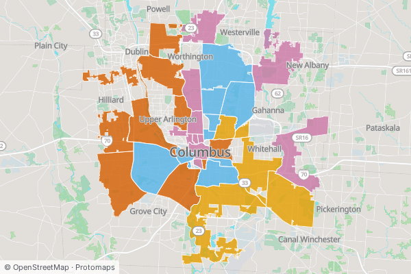
Where are the signals of rapid neighborhood change stacking up?
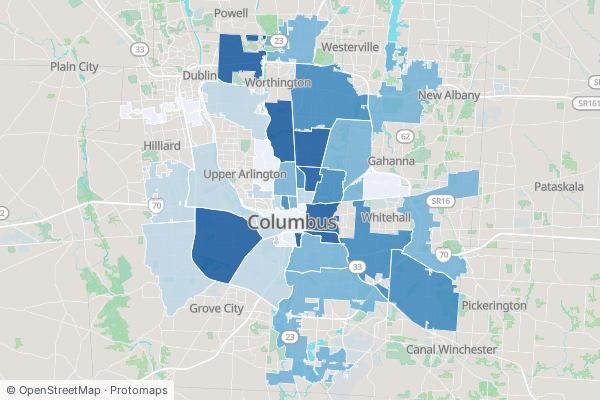
How much land is locked to single-family only?
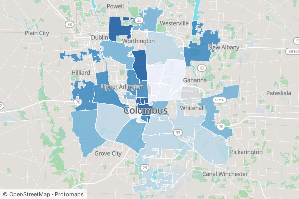
What did homes here recently sell for — and how fast is the market moving?
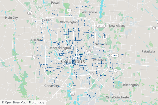
How often do buses actually come — and where don't they?
Columbus neighborhood map
These 19 neighborhood pagesfollow the names locals use. The civic maps draw the City's Columbus Communities planning areas, which don't always match a page's area commission. Browse all 19 below, or explore Columbus as civic maps. New to the public record? Read the guides, or see Columbus landmarks by the parcel.
Central side
4A compact 19th-century brewing quarter of brick warehouses turned bars, offices, and lofts.
Columbus's civic and business core, from the Statehouse to the Scioto riverfront.
Restored 1800s brick cottages, wrought iron, and Schiller Park — walkable end to end.
Short North-adjacent blocks of restored doubles and infill lofts off N High Street.
North side
7A long, leafy neighborhood of bungalows, ravines, and locally-owned High Street storefronts.
Sawmill and Hard Road suburbia — newer subdivisions, schools, and big-box retail.
A small industrial-residential pocket north of Downtown, reinventing around Milo Arts.
University-edge streets threaded by Glen Echo Ravine, between OSU and Clintonville.
Cleveland Avenue residential blocks on the city's near-north side.
A diverse north-side expanse of postwar subdivisions and Morse Road commerce.
The dense, student-shaped neighborhoods wrapped around Ohio State and the 'Shoe.
East side
2South side
2West side
4Broad Street suburbia west of the Scioto, edged by the woods of Big Run Park.
A quiet wedge between Grandview and the Olentangy — half homes, half research-park frontage.
Columbus's oldest settlement in the Scioto bottoms — now an arts district beside COSI.
The city's largest area commission — a deep grid of west-side neighborhoods above the Scioto.
How Civic Worth works
Search any address, free
Type any Columbus or Chicago address. In under a second you get the Civic Address Card: who represents that parcel, how it is zoned, the nearest transit, and the most recent 311 requests nearby. No account, no charge.
The report explains the why
The card shows what is true of a parcel. The full report shows why it matters. It reads the same public record a planner or a land-use lawyer would pull, and cites every source: today's zoning and the Zone In draft, permit history and the unpermitted-work signal, assessed value and tax context, and demographic and displacement trends.
See a real parcel report, resolved live→Free for newsrooms and nonprofits
Verified newsrooms and 501(c)(3) nonprofits get 100 reports a month at no cost. The people who report on a city should be able to read its public record.
How newsroom access works→One-time reports, no subscription
$19 Lite · $39 Standard · $79 Investor · $29 Zone In Decoder. Or $9.99/mo Citizen for unlimited free-tier reports and a monthly Decoder credit.
Columbus is “the Arch City” for the wooden arches that lit High Street from 1888; the Short North’s steel arches went up in 2002.