Community Areas vs. Wards — Which Chicago Geography Matters for What
· Updated
Chicago has 77 community areas and 50 wards, and they answer different questions. Here's which one to reach for, and why one address carries both.
Correction (October 3, 2026): An earlier version of this article said your ward tells you who decides zoning matters. Zoning map amendments are decided by the full City Council, and variations and special uses go to the Zoning Board of Appeals (City of Chicago, Department of Planning and Development).
Ask a Chicagoan where they live and you'll hear a neighborhood — Lincoln Park, Pilsen, Bronzeville. Ask who represents them and you'll hear a ward number, if they know it. These are two different maps laid over the same city, and confusing them is behind a surprising amount of "wait, who do I call about this?"
Community areas: the stable map
Chicago has 77 community areas — Lake View, Austin, the Loop, Hyde Park, and so on. They change far less than wards do: state law has the City Council redraw wards after every census (65 ILCS 20/21-38), and the City's data portal keeps ward boundaries in dated sets (2003-2015, 2015-2023, 2023 on) but publishes one set of community-area boundaries. That stability is the point: because the boundaries hold still, community areas are the geography for describing a place over time. When you want to know "what is this part of the city like — its housing, its history, its character," you're asking a community-area question.
Wards: the moving map
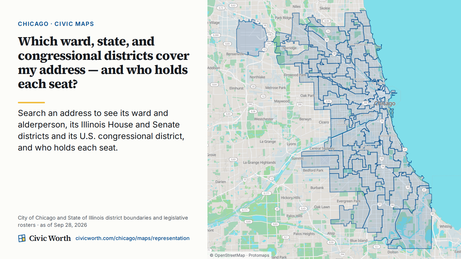
Chicago has 50 wards, each represented by an alderperson on the City Council. Wards are political districts, and unlike community areas they're redrawn after each census to keep their populations roughly equal. That makes them the geography for representation and local decisions: who your alderperson is, and often who has a say in zoning and local matters on your block. (The decisions themselves sit elsewhere: the full City Council is the final decision-making body on zoning map amendments, and the Zoning Board of Appeals reviews variations and special uses, according to the City's Department of Planning and Development.) When you want to know "who represents me, and who weighs in on what happens here," you're asking a ward question.
Why they don't line up
A single community area can be split across several wards, and a single ward can stitch together pieces of several community areas. There's no clean nesting of one inside the other, because they were drawn for different reasons at different times. So "my neighborhood" and "my ward" are genuinely two separate facts about your address — and you frequently need both.
One address, both answers
This is exactly the kind of thing parcel-level data is for. When you resolve a Chicago address on Civic Worth, it lands in both maps at once: the community area becomes the neighborhood your parcel report and its community-area page are organized around, and the ward shows up as your council district in the representation view. No guessing which map you were supposed to be reading — you get the neighborhood and the district, keyed to the same lot.
That pairing also quietly powers other answers. A parcel's ward matters for its ADU eligibility, for instance: a single-family-zoned lot qualifies only inside an ADU-Allowed RS Area, and the City Council creates those by ordinance as alderpersons opt in the single-family districts in their wards (City of Chicago, Department of Housing). A reminder that these boundaries aren't trivia, they're load-bearing.
See both for your block
Pick your community area from the Chicago hub — Lincoln Park, Lower West Side (home to Pilsen), Grand Boulevard (home to part of Bronzeville), or any of the 77 — or search your address directly. Every address resolves to its 14-digit PIN, its community area, and its ward, so you can stop mixing up the two maps and start using each for what it's good at.
Sources
- City of Chicago data portal, Boundaries - Community Areas
- City of Chicago data portal, Boundaries - Wards (2023-)
- Illinois Compiled Statutes, 65 ILCS 20/21-36 (fifty wards)
- Illinois Compiled Statutes, 65 ILCS 20/21-38 (redistricting after each census)
- Illinois Compiled Statutes, 65 ILCS 20/21-22 (one alderperson per ward)
- City of Chicago, Department of Planning and Development, Zoning Amendments
- City of Chicago, Department of Planning and Development, Commissions (Zoning Board of Appeals)
- City of Chicago, Department of Housing, ADU Requirements (ADU-Allowed RS Areas)
- City of Chicago, Mayor's Press Office, City Council Approves ADU Expansion in Additional Single-Family Districts (Dec. 10, 2025)
- City of Chicago, Pilsen Historic District (PDF)
- City of Chicago, Department of Planning and Development, Bronzeville TIF
Frequently asked
What are Chicago's community areas and why do they matter?
Chicago has 77 community areas (City of Chicago data portal), and their boundaries change far less than wards do: state law has the City Council redraw wards after every census (65 ILCS 20/21-38), while the City publishes a single set of community-area boundaries. Their stable boundaries make them ideal for describing a place over time—its housing, history, and character. They're the geography you use when asking what a part of the city is like.
What are Chicago wards and how are they different from community areas?
Chicago has 50 wards, each represented by an alderperson on City Council. Unlike stable community areas, wards are redrawn after each census to keep populations equal. They're the geography for representation: your ward tells you which alderperson represents you on the City Council, and the full Council is the final decision-making body on zoning map amendments. Variations and special uses go to the Zoning Board of Appeals instead (City of Chicago, Department of Planning and Development).
Why don't Chicago wards and community areas line up?
A single community area can split across several wards, and a single ward can stitch together pieces of multiple community areas. They were drawn for different reasons at different times, so your neighborhood and your ward are two separate facts about your address.