The Date on a Columbus Zoning or District Record Isn't a Footnote, It's the Whole Argument
A practical guide to checking the as-of date on Columbus zoning, variance, and council district records before citing them in reporting, testimony, or grant applications, with special attention to how redistricting makes stale district data especially damaging right now.
The Question Nobody Asks Before They Hit Publish
Here's the failure mode, and it happens more than anyone in a newsroom or a nonprofit wants to admit: you pull a zoning designation, a council district boundary, or a 311 history for an address, and it's accurate. It's just not accurate for the moment that mattered. The parcel was zoned commercial when you checked it in August. It was zoned something else when the Development Commission actually ruled on the variance in March. You cite the August version in a story about the March decision, and now you've published a fact that's true and wrong at the same time.
Most people never ask the question that would catch this: as of when? Not "is this correct," but "was this correct on the date the decision I'm writing about actually happened?" That's a different question, and it's the one that matters when you're contesting an outcome, testifying at a commission meeting, or building a grant narrative around neighborhood conditions.
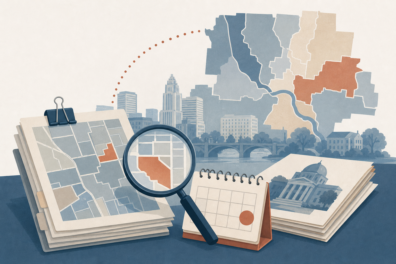
This gets sharper right now because Columbus is mid-cycle on redistricting, with council district and ward lines actively shifting. Representation itself is the thing in motion. A district map that was correct when you bookmarked it might already be the old version.
What "Sourced and Dated" Actually Means, Not as a Slogan
At Civic Worth, every fact in a report carries two things: a named source (which city, county, or state system it came from) and an as-of date (when that fact was last confirmed true). That's not a design flourish. It's a build requirement. If an AI-generated summary produces a number that can't trace back to a citation, the build fails. It doesn't ship with a plausible-sounding guess standing in for a sourced fact.
When something does turn out to be wrong or stale, there's a public correction and dispute flow, not a quiet edit with no record that anything changed. That matters because civic data isn't static. Zoning gets amended. District lines get redrawn. A 311 request gets closed, reopened, closed again. The job isn't to freeze a snapshot and call it truth forever. It's to be honest about which snapshot you're looking at.
We've written before about why a zoning variance is the last thing you see, not the first: by the time a decision becomes public, the version of the record that shaped it may already have moved on without you.
A Parcel-Level Walkthrough: Checking the Date Before You Cite It
Say you're a reporter covering a contested variance on a parcel in the University District. The commission approved it in the spring. You're writing the piece now, and you want to explain what the zoning was going into that decision.
Here's the wrong move: search "University District zoning," find a map, cite it. That map reflects zoning as it stands today, which is not necessarily what the Development Commission was looking at when they voted.
Here's the right move: look up the specific parcel, not the neighborhood in general and not the ZIP code. Find the zoning fact tied to that address. Check its as-of date. If that date postdates the decision you're writing about, you need the version that was in effect before the amendment, not after. If the source doesn't give you a date at all, treat the fact as unverified for your purposes, even if it's probably true.
The same logic applies to council district lookups during redistricting. A resident checking which area commission or council district covers their address should confirm the as-of date on that boundary, not just trust that the number they've always used still applies. We cover the commission side of this in what area commissions are actually for, and the meeting mechanics in what area commission meetings are actually for, both useful if you're prepping testimony and want to know what the vote will and won't settle.
The Stakes Are Different for Everyone in the Room
A reporter's risk is a correction, published where everyone can see it, plus the credibility hit that follows a factual error in a development story. A nonprofit's risk is quieter but costlier: a grant narrative built on a stale district boundary or an outdated zoning claim can undercut the credibility of the whole application, especially when a funder's own reviewers can check the current map in thirty seconds.
A resident's risk shows up in the room. Area commissions and city staff take testimony more seriously when it's precise. Show up citing a district or zoning fact that's six months out of date and you've handed skeptics an easy reason to dismiss everything else you said, even the parts that were right.
For planners and civic technologists, the risk compounds downstream. Build an analysis on an unverified boundary and every model, map, or dataset that inherits from it inherits the error too. That's the quiet failure mode: nobody catches it until it's baked into something with a much higher cost to unwind.
Why Election Season Makes This Worse
During redistricting, council district and ward boundaries aren't a fixed backdrop, they're the story. A stale district record doesn't just misinform someone about a minor administrative detail. It misinforms them about who actually represents them, which ballot issues apply to their address, and which area commission has jurisdiction over a project down the street. When representation itself is shifting, the as-of date on your district data isn't a nice-to-have. It's the difference between informing a resident and misleading one in good faith.
If you're trying to piece this together manually, through records requests and scattered city pages, we've written about why you shouldn't have to file a records request just to understand your own address. It's slower and it's easier to end up with an undated fact than you'd think.
Check the Date Before You Cite the Fact
Before you write the story, file the testimony, or finish the grant narrative: look up the address or parcel in question at civicworth.com, find the fact you're about to use, and check its as-of date against the date of the decision you're writing about. If those two dates don't line up, you don't have the version that shaped the outcome. You have a different, earlier or later, true thing.
Frequently asked
How do I know if Columbus zoning map data is up to date?
Check the as-of date attached to the fact, not just the date you're looking at it. A zoning designation, district boundary, or 311 record should carry a source and a specific date it was last confirmed. If a tool can't show you that date, you're guessing, not verifying.
How do I check my Columbus council district during redistricting?
Redistricting changes ward and council district lines, sometimes mid-cycle, so a map you saved last year may not reflect the boundary currently in effect. Look up the parcel directly rather than relying on a memorized district number, and confirm the as-of date on whatever source you use.
Where can I verify when a zoning variance was decided?
Variance decisions are tied to a specific hearing date and case record, not the date you happen to read about them. Check the source document's date against the date of the outcome you're discussing. If those dates don't line up, you may be citing an earlier or later version of the record than the one that mattered.